SOUTH CENTRAL, Ind. – UPDATE: The Bartholomew County Office of Emergency Management says the National Weather Service has declared a "Winter Storm Watch" is in effect for Saturday and Sunday as a strong winter storm system is expected to impact the south-central Indiana area this weekend.
The Winter Storm Watch is from Saturday morning through Sunday at 7 p.m. for south-central, west-central, east-central, southwest, southeast, and central Indiana. Travel could be difficult.
The impacted area includes Bartholomew, Johnson, Jackson, Jennings, Brown, Decatur, and Shelby Counties.
There is increasing potential for accumulating snow across portions of Indiana, with the chance for significant snowfall remaining highest in southern Indiana.
Snow is predicted to move into Indiana sometime on Saturday. Accumulations could be 4 to 7 inches in some parts of the state. However, exact snowfall amounts and the system track remain uncertain and are still being monitored, so confidence in the amount of snow is low at this time.
Sub-zero temperatures and wind chills are possible from Friday through next Wednesday.
There is very high confidence that next week’s temperatures will average 10 to 20° below normal. Normal late-January high temperatures are around 35° with lows near 20°.
Widespread wind chills of -5° to -10° are expected from Friday morning through Saturday morning, but isolated locations may see wind chills as low as -15°.
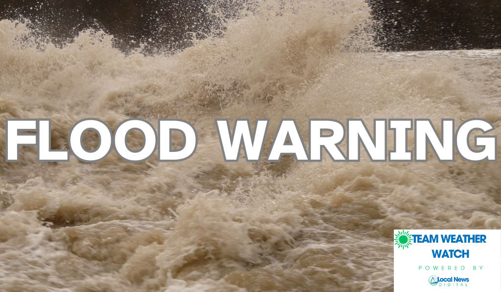 Flood Warning issued for Flat Rock River in Columbus
 Bartholomew County looks to add K9 to help solve internet crimes against kids
 Lottery system for 2026 City of Columbus Garden spot now active
 Franklin Community Schools welcomes new Chief of Police
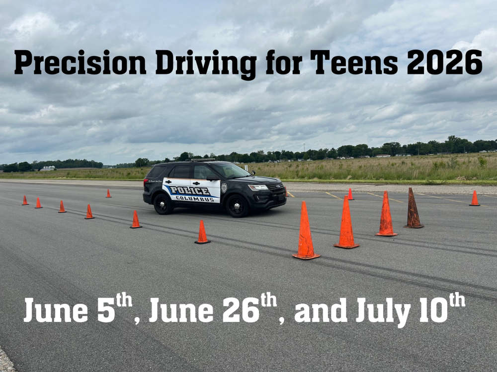 Registration open for CPD 'Precision Driving for Teens' course