
SOUTH-CENTRAL, Ind. - The National Weather Service says the Winter Storm Warning ends at 7 a.m. today. However, an Extreme Cold Warning is in effect for Bartholomew, Johnson, Jackson, Jennings, Brown, Decatur, and Shelby Counties from Monday at 7 p.m. until Tuesday at 7 a.m.
The Travel status for all of south-central Indiana remains at the RED Warning level. Roads are still snow-covered and hazardous for travel.
Snow accumulation amounts for the area have ranged from 12 to 18 inches. Blowing and drifting will continue Monday with wind speeds of 20-25 mph. High temperatures this week will be in the single digits to teens, with wind chills falling to -20 at times.
With the dangerously cold temperatures, dress in layers if you have to go outside and limit your time outdoors. Protect your pipes from freezing by opening cabinet doors that are around plumbing.
Find road conditions using the INDOT Trafficwise map. Check statewide travel advisories here.
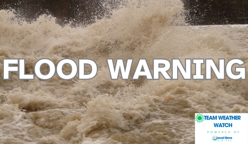 Flood Warning issued for Flat Rock River in Columbus
 Bartholomew County looks to add K9 to help solve internet crimes against kids
 Lottery system for 2026 City of Columbus Garden spot now active
 Franklin Community Schools welcomes new Chief of Police
 Registration open for CPD 'Precision Driving for Teens' course